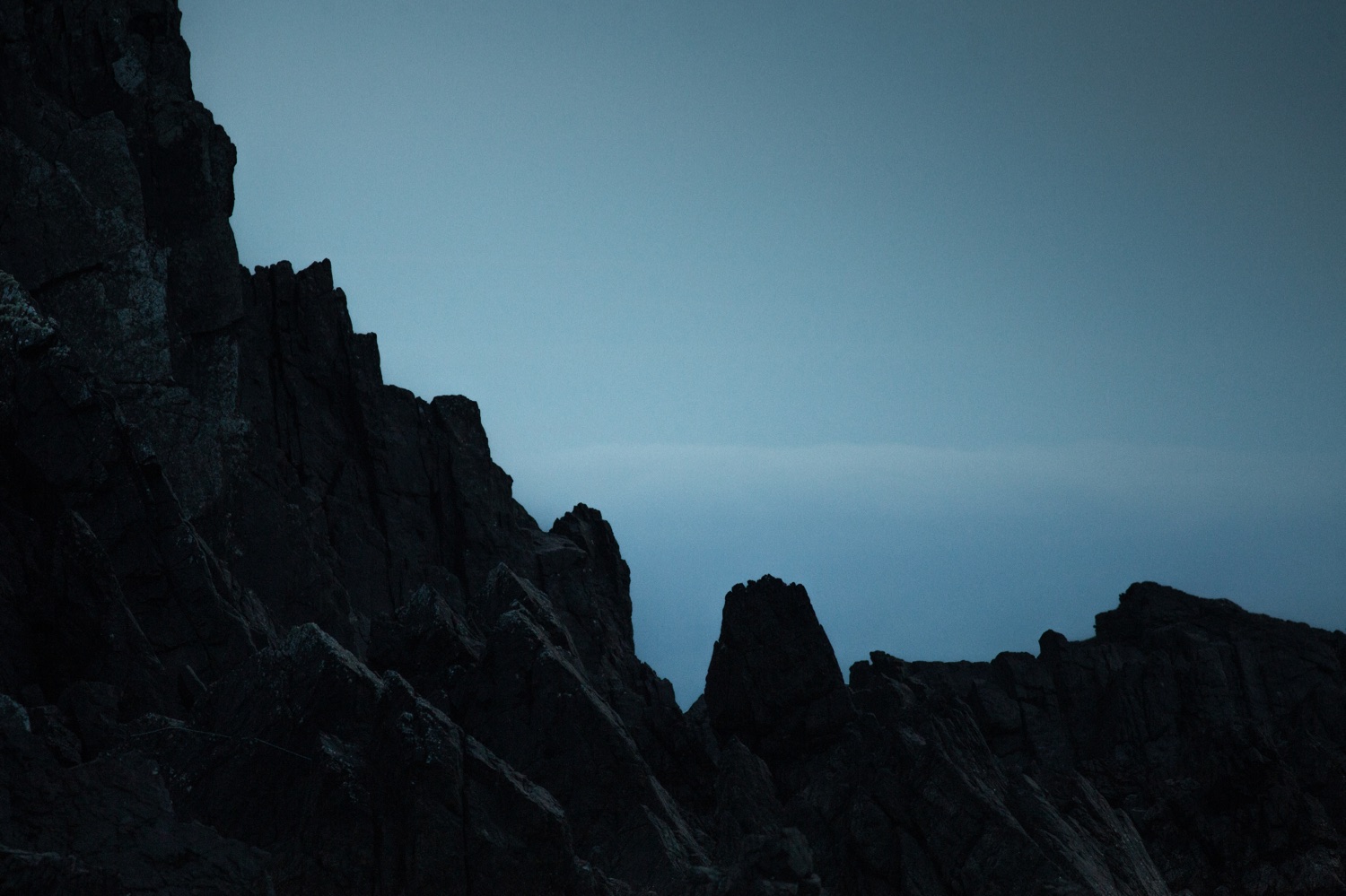
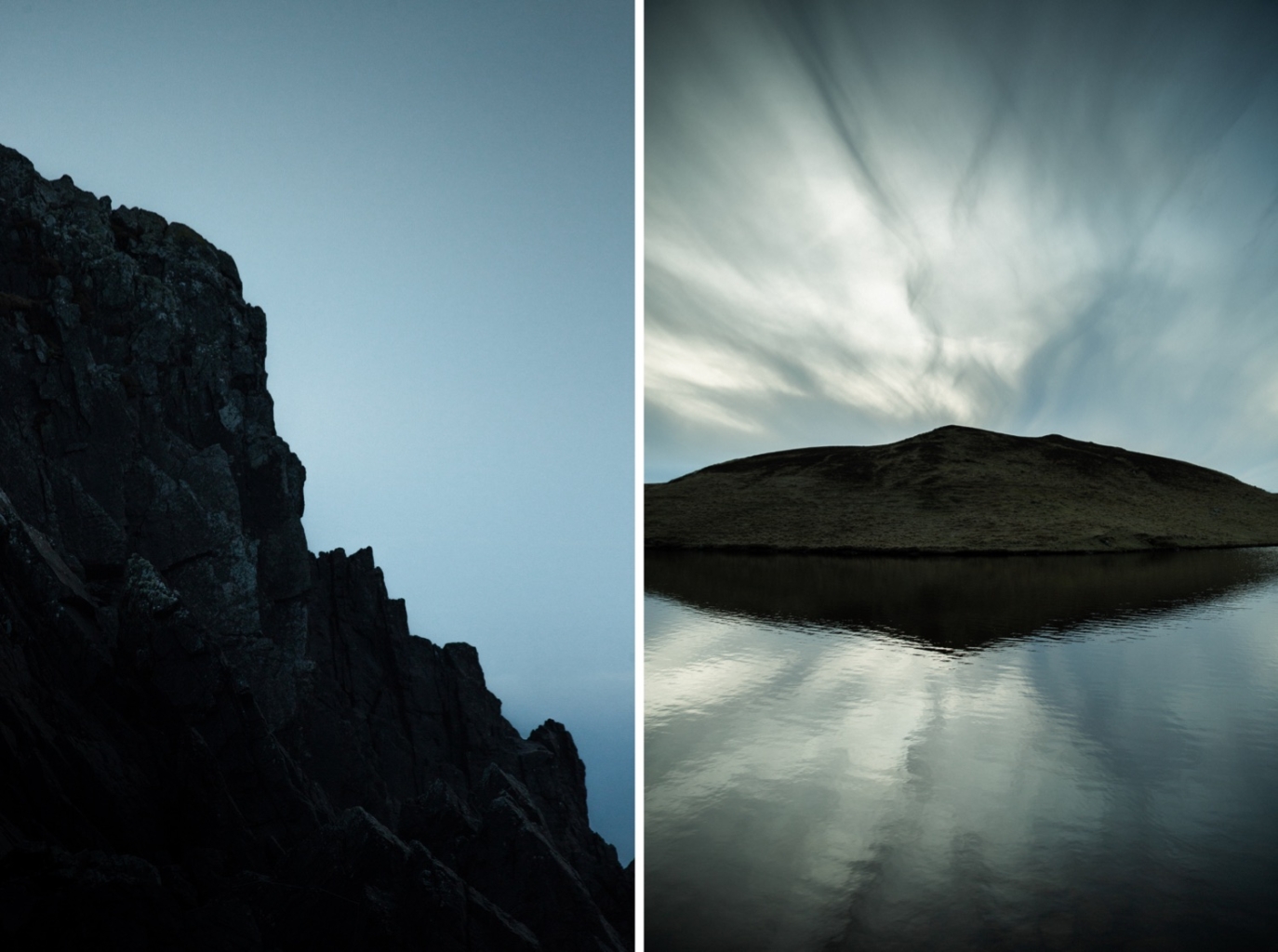
Come along with me as I explore the familiar landscapes of my home turf, embarking on one of the finest walks in Shetland’s West Mainland. Immerse yourself in breathtaking views of the islands of Foula and Vaila.
Exploring the hidden treasures along Shetland’s West Mainland
Living on the Westside of Shetland, I am totally spoilt for choice when deciding where to walk locally, or where to suggest a walk for other people. It’s a quiet rural corner, and many Shetlanders haven’t fully explored it’s delights. A walk we return to again and again is at Burrastow, near Walls.
The going is generally good under foot, but rocky and uneven in places, and care is required on the low cliffs. Burrastow is about 2.5 miles southwest of Walls, and the best place to park is next to an enclosure used for working with sheep. Please ensure you park considerately to allow the local crofter access to the sheep pen and gates if needed.
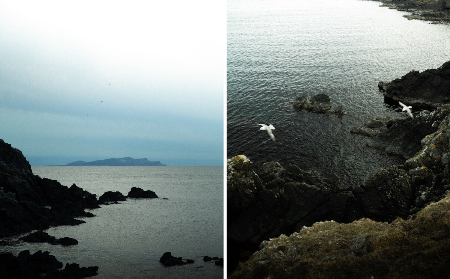
Start your walk near Burrastow, near walls on Shetland’s West Mainland
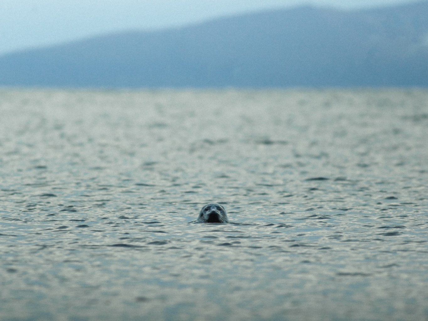
To start the walk, go about 200m back up the road you came along, following the delightful narrow inlet of Lera Voe – a beautiful spot where there are usually a couple of small boats moored. Seals are often hauled up on the rocks but will usually head for the water as you walk past. Last time we were there, more than 20 seals took the plunge: their heads bobbing back up to check us out. Turn left up a rough track/driveway where a new house has been built on the hill up to the left.
Continue along the steepish track uphill through a couple of gates and within half a mile you’re in the hills well above the few houses. Pass between the Lochs of Littlure and before long, if the visibility is good, you start to get some really great views of Foula – Shetland’s remote Western Island, out in the North Atlantic.
Views of the South Mainland of Shetland also start to open up in the distance to the south, with Fitful Head and its radar dome for the airport just visible on a clear day. A track leaves on the left but continue right and on through a gate or over the stile.
From there, you make your way down to the sea. Once at the coast you’re on one of the core paths designated by the local council, so you will see the occasional waymarker post. The core path goes south from here, but from this point I like to take a detour up the coast as far as Braga Ness and the entrance to the Voe of Footabrough.
Take a little detour to the Voe of Footabrough
Footabrough is named after the broch (an Iron Age tower) that once stood on a promontory at the head of the Voe, but it is now a grass- covered pile of rubble about 2m tall. We have twice watched otters at Braga Ness fishing and playing in the surf. Even if you are not lucky enough to encounter otters, it is still a great place to watch the Atlantic as it collides with the rugged rocks below. When it’s breezy, with the wind coming from the west, it doesn’t take much for a reasonable swell to generate some great breakers.
The gannets are often diving just offshore, fulmars soar overhead, and shags may be drying their plumage on the rocks below Ellen Gray’s Bottom (yes – it’s marked on the map and in fact is the name used for the core path!)
In the summer, the cropped grass is transformed: carpeted by wildflowers in pink, blue, yellow and white. It’s a great stretch of coastline to just stand, watch and experience nature in its purest form. Lots of small rocks (up to about 15cm diameter) litter the grass many metres inland. They have been thrown up by the power of stormy seas and provide good reason as to why you probably shouldn’t stand there in a raging westerly gale!
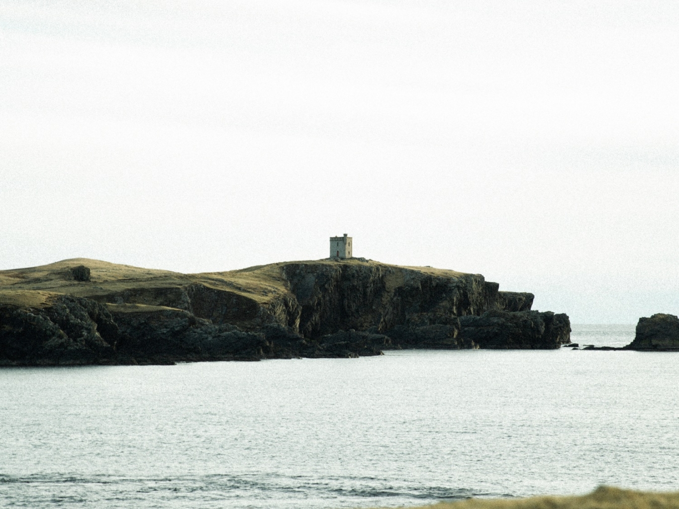
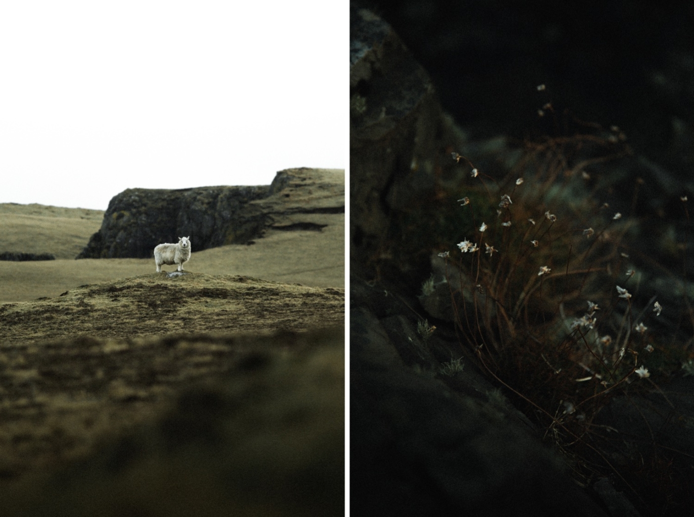
Captivating views on walks through Shetland’s West Mainland Edge
Views of Foula accompany you for most of this walk and the island has a mystical appearance when the light is constantly changing overhead. Foula – its name comes from the Old Norse for “bird island” – has some of Britain’s highest sea cliffs, reaching 370m above sea level.
From this distance, Foula appears almost uninhabitable, with its steep jagged cliffs silhouetted against the sky, but there is evidence of habitation there since the Neolithic period (about 5,000 years ago). In the census of 1881, its population was more than 250 and it has averaged around 150 for much of the past two centuries, but numbers declined after the Second World War and the population is now only around 30.
The community has a strong Norse tradition of folklore and music, and was one of the last places where the Norn language (the Shetland version of Old Norse) was spoken.
A little bit of history on Foula, which lies south west of Shetland’s Mainland
Foula folk still celebrate Christmas as Auld Yule on January 6th and Old New Year a week later (according to the Julian calendar), although the Gregorian calendar was introduced in 1752.
The current Foula Primary School opened in 1992 and takes pupils up to 12 years old, after which they go to the High School in Lerwick. They board in hostel accommodation during term times, returning home for school holidays and occasional weekends.
The isle has a Post Office, volunteer Fire Brigade and a small church, but no shop or pub. Islanders purchase their supplies from the mainland, which are delivered by either the ferry or plane – weather-dependent of course. There is no doctor based in Foula; medical care is provided by a resident nurse, who refers patients to medical facilities on the mainland as necessary.
For many years, publicly funded services on Foula were limited, with local and national governments perhaps assuming that the isle would soon be evacuated and there was no point in wasting money. This belief was based on events in St Kilda – a remote island west of the Outer Hebrides – which was evacuated in 1930. The evocative 1937 film The Edge of the World told the story of the St Kilda evacuation but was filmed on Foula.
Upgrading of Foula’s public roads from gravel to tarmac only occurred in the early 1970s, and the public mains water supply finally arrived in 1982. Even now, there is no safe harbour to leave the small ferry in the water at Ham Voe (the only sheltered inlet), so it is hauled out of the water with a purpose- built shore mounted crane when not in use.
Exploring more of Shetland’s West Mainland wonders
After exploring the coast up to Braga Ness, return to the area around Barni Loch and continue south-east towards The Peak – a small rocky “island” giving protection for the lovely sheltered Voe of Littlure. At low tide it is possible to scramble over rocks to access The Peak. There are ruined croft house buildings above the bay worth exploring. The bay is often a playground for seals, hauled up on the rocks or frolicking in the water.
As you continue around the coast, there is a lovely glimpse of the mass of Foula through the gap between The Peak and the low cliff on the mainland. Just before a stile, a fence provides protection from the cliff edge. However, at one particular point, erosion means that the edge is exposed and the unwary may be caught out, so take extra care along that stretch.
Further round the bay, after a Jacob’s ladder, there is a wonderful small camping hut available for hire – contact details can be found on the door. It is a most spectacular spot looking west to the Atlantic – a real get-away-from-it-all.
There are small climbs after Uskie Geo, past Rusna Stacks and round Outer Head, before dropping down to Quinni Geo – all the while circling the Loch of Quinnigeo. By now, there are great views out across Wester Sound to the island of Vaila, with a tower obvious on the opposite coastline and the main house of Vaila Hall also coming into view. The original Hall was built in 1696 and extended about 200 years later.
About 12 years ago, we had the chance to visit the island and saw how beautifully the owners had restored the tower and were managing the huge task of maintaining the amazing hall, whilst coping with the restrictions that owning a listed building can bring. The island and all its buildings went up for sale last year, complete with the Hall, 757 acres and 6.5 miles of coastline.
Head towards Dragon’s Hus & Burrastow House
After Quinni Geo, the going is moderately difficult in places as you follow a contour around steep slopes, but all the field boundaries have a stile or Jacob’s ladder with waymarker signs. After the final headland, there is a lovely surprise: another camping hut, again available to hire, called the Dragon’s Hus.
Beyond that, Burrastow House comes into view – a fine, two-storey “haa”, originally built in 1759 for the Henry Family and since extended. A haa was a laird’s house (or land- owner’s house) and there are many fine examples around the islands. Burrastow is a typical haa – a tall, narrow, gabled building. These tall buildings are prominent in the Shetland landscape, and appear totally unsuited to such an exposed, harsh climate. They are certainly a contrast to the long, low, croft houses that hug the hillsides for shelter. Burrastow House has been run as a small hotel since 1980 – operating in the summer months.
Approaching the house, you cross a stile then walk over rocks in front of the ruin of a small water mill on the water’s edge, once used by the community to grind grain. The rocks are uneven and slippery in all weathers, so please take care!
By the mill is a small gate, on the reverse of which is a map of the route we have just walked and confirmation that it does indeed go to Ellen Gray’s Bottom! Crossing the lawn at Burrastow gives you a chance to look more closely at the house and its splendid views across to Vaila. From there, the minor road takes you back to your car.
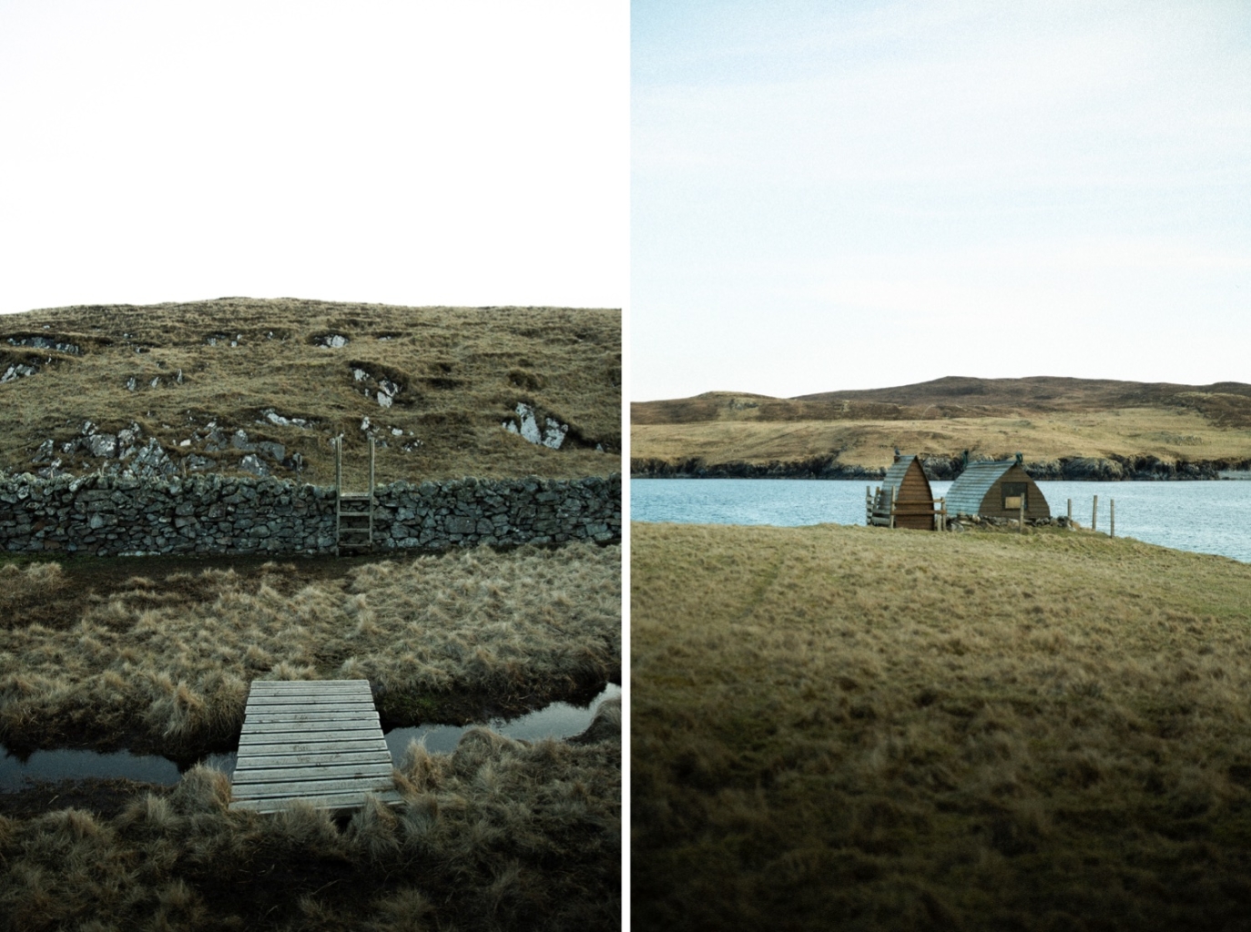
This gorgeous walk along Shetland’s West Mainland edge takes just over 6 Miles.
Including the detour up the coast to Braga Ness, the total distance is about 6 miles. Missing out the detour would reduce it by just over a mile. It really is a great walk and not too challenging – most of it on tracks or on grassy surfaces. However, like most Shetland hill-walking, it is very quiet and quite exposed for much of the route, so having appropriate gear and supplies for the conditions is recommended.
If you would like more adventures and other Shetland Treasures – Misa’s upcoming guidebook (in collaboration with Laurie Goodlad, from Shetland with Laurie) promises to unveil the best of Shetland. Ensuring your next Shetland adventure is both unforgettable and truly unique – packed with insider tips, rich cultural insights and beautiful photography it’s your passport to a Shetland adventure like no other. To join the waitlist, sign-up here.
This article originally appeared in Shetland Wool Adventures Vol. 05. Get your copy here!
Written By : Gill Nadin
Photography By: Ritchie Williams

Be The First To Comment